Jelen bejegyzés apropóját a néhány hete indított, a Szíria észak-keleti részén található kurd ellenőrzés alatt lévő területeket (Rojava) célzó katonai offenzíva kapcsán igyekszik körbejárni a kurd kérdés hátterét, különös tekintettel az etnikai viszonyokra. A bejegyzésben egyrészt összegyűjtöttünk néhány olyan etnikai/néprajzi/anyanyelvi térképet, amelyek a kurd etnikumú népesség elterjedését - részben vagy egészben - ábrázolták, másrészt alaposabban körüljárjuk a régió első világháború utáni történelmét, különös tekintettel a Moszul-bizottságra, amelyben földrajztudósként - lehetőséget kapva a trianoni területvesztést követő magyar területi érvelés tudományos eszközrendszerének nemzetközi keretek között történő demonstrálására - Teleki Pál is jelentős szerephez jutott, ennek kapcsán pedig a lehetséges magyar párhuzamok és különbségek kérdését is megkíséreljük körüljárni. A bejegyzésben nagy hangsúly került a különböző, elsősorban hazai interpretációk összehasonlítására is. Ezekhez, mivel az aktuális kérdés megítélésében számos anomáliát tapasztalhatunk, rengeteg rövidebb idézetet is közöltünk, melyekhez azonban mindig érdemes elolvasni a forrásként megadott írások teljes szövegét is, emellett érdemes figyelni az adott írás eredeti megjelenésének helyére és dátumára is, hiszen az sok esetben jelentős magyarázó erővel bírhat annak tartalmára.
A 2011-es Arab Tavasz után kezdődő szíriai polgárháború szinte megszámlálhatatlanul sok, ugyanakkor rendkívül változékony összetételű, célú és szövetségi rendszerű háborús fél megjelenését hozta el a régióban az elmúlt években, amelyekkel már mi is foglalkoztunk egy 2017-es bejegyzésben itt, a Pangeán. A 2017-es bejegyzés óta az Iszlám Állam territoriális értelemben megszűnni látszott, fegyvereseinek nagy része kurd fogságba került, a még szabadon lévő tagjai pedig alapvetően gerillaharcra rendezkedtek be. A kurdok Szíria északkeleti részén kiterjedt területeket vontak az ellenőrzésük alá, elsősorban az Iszlám Állam rovására, ellenőrizve annak egykori "fővárosát", Rakkát is. A kurdokról is írtunk már a Pangeán egy részletes bejegyzést az iraki kurd népszavazás kapcsán, szintén 2017-ben.
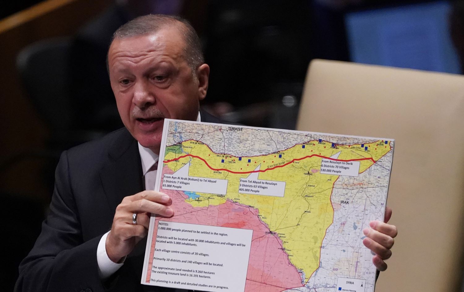
Recep Tayyip Erdoğan török elnök egy térképen mutatja be a tervezett biztonsági zóna határait az ENSZ ülésén, New Yorkban, 2019. szeptember 24-én. forrás
 Orbán Viktor és vendégei a Perczel-glóbusz rekonstrukciójának társaságában
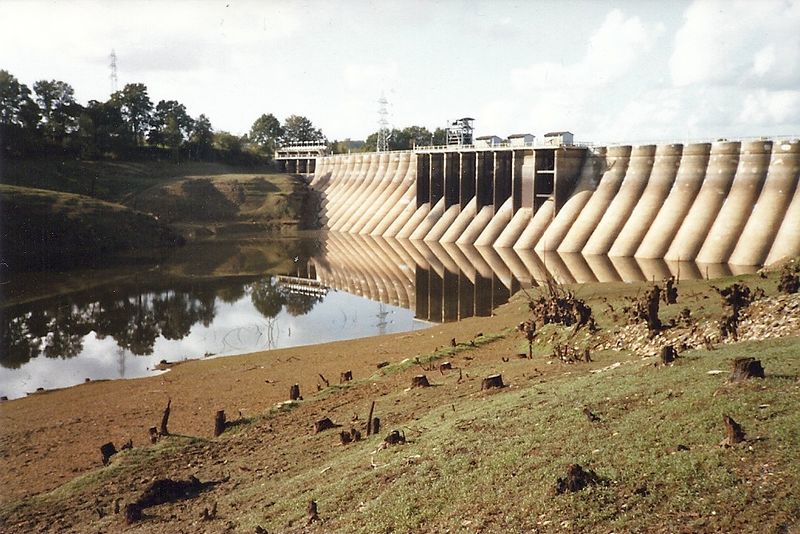 A bontásra ítélt Vezins-gát az 1982-ben épp leeresztett tározó felől - (
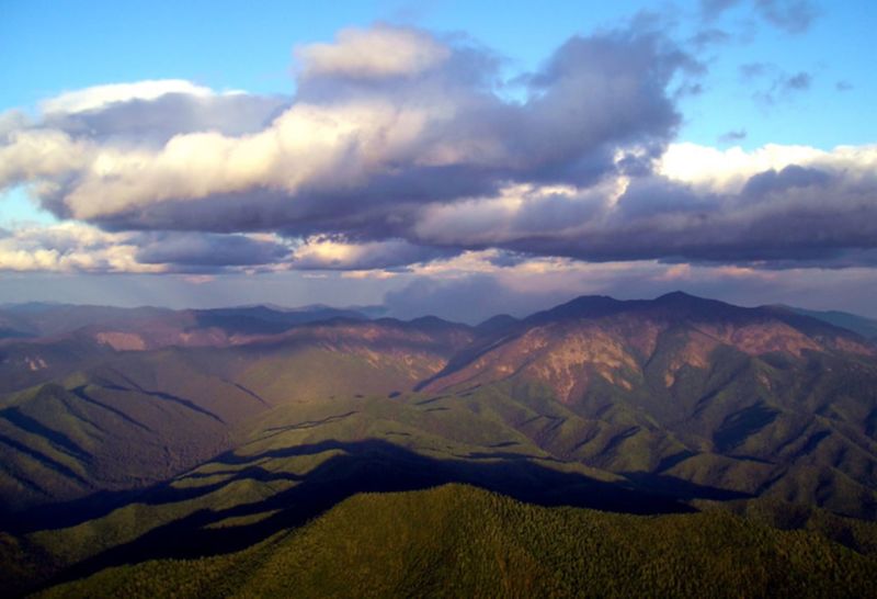 A Szihote-Aliny hegység, "Zöld-Ukrajna" (nyáron) még zöldebb háttere - (
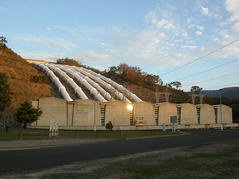 Az ausztrál "folyómegfordítás" befejező eleme, a Tumut-3 erőmű - (
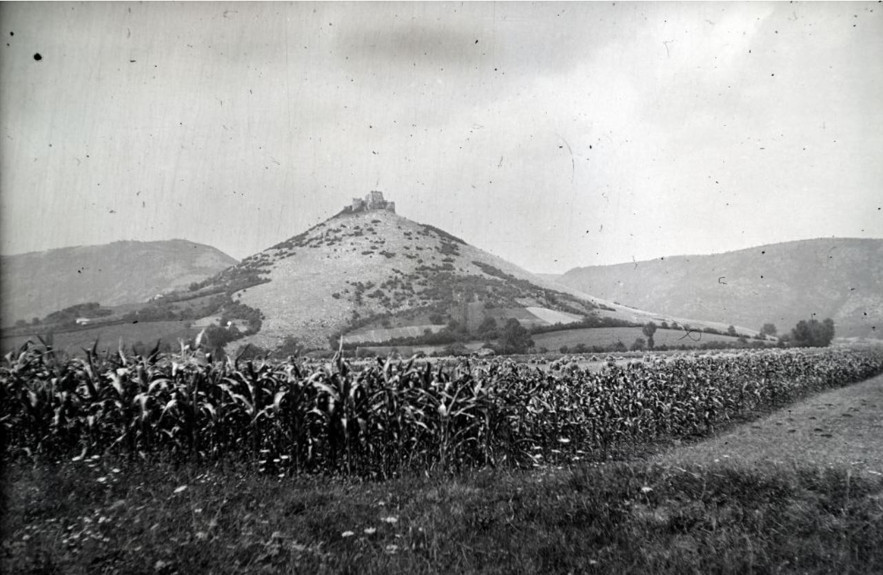
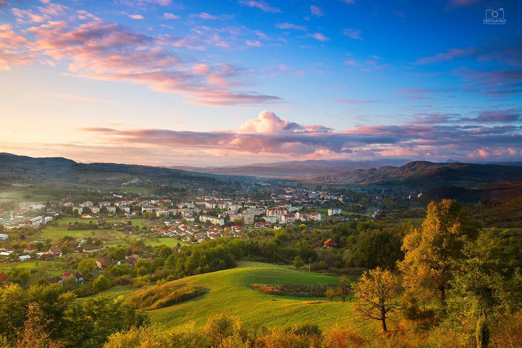 Zaránd vármegye: Brád és a Fehér-Kőrös völgye (